
Pasco ZIP Evidence by Code
Official sources clearly support 99301 as a Pasco delivery ZIP. A current USPS facility page places both the main Pasco Post Office and Downtown Pasco in it. An archived Domestic Mail Manual destination table also associates 99302 with Pasco processing, but the research did not locate a current official page that defines its service type or street boundary. Codes 99336 through 99338 appear in the same older Tri-Cities routing context and must not be labeled Pasco without an address-level check.
| ZIP Code | Areas Covered | Post Office | Notes |
|---|---|---|---|
| 99301 | Core Pasco delivery relationship; exact boundary varies by address | Pasco Post Office and Downtown Pasco | Verify each address with USPS |
| 99302 | Associated with Pasco processing in an archived USPS table | Current service type not located | Do not infer street coverage |
| 99336-99338 | Tri-Cities routing context in archived table | Not established as Pasco facilities | Require USPS and civil-map checks |
This Pasco ZIP code directory states the gaps because no current official USPS boundary GIS or Pasco ZIP-to-street export was located. Facility suffixes such as 99301-9998, 99301-5663, and 99301-9985 identify postal endpoints. They do not assign those ZIP+4 codes to nearby homes.
Verify a Pasco ZIP Address
The USPS ZIP Lookup provides three routes. Use the full-address route for a person or parcel. The city-and-state route only returns codes associated with a locality, while Cities by ZIP returns postal city names linked to one five-digit code. Neither city-level route proves a street is inside Pasco city limits.
| USPS route | Input | Result |
|---|---|---|
| By address | Street address, city, state | Standardized ZIP or ZIP+4 |
| By city and state | Pasco, Washington | Associated ZIP list |
| Cities by ZIP | Five-digit code | Postal city associations |
| County or city GIS | Address or place | Parcel and civil-boundary context, not postal confirmation |
If the address search fails, check spelling and standard form. Do not select a code from a third-party autocomplete and call it verified.
Pasco ZIP Postal Facilities
The USPS Pasco facility listing identifies the Pasco Post Office at 3500 W Court Street, phone 509-543-2189. It also lists Downtown Pasco at 403 W Lewis Street and the Pasco WA S&DC at the Court Street site. These facilities support the postal relationship for 99301.
A post office location is not a map of every carrier route. A facility ZIP+4 is also not a public list of patrons or box holders. For a ZIP code directory search, use the facility listing as evidence of postal service, then return to address-level verification.
Find Pasco Residents by ZIP
A five-digit code narrows geography, but Pasco's official property tools are not a simple ZIP-wide resident list. The captured Franklin Tax Search address form uses house number, direction, street name, and street type, with no ZIP field. FRIS can place a parcel among city limits, tax districts, voting precincts, townships, and sections. Those are civil layers, not USPS data.
- Enter the complete address in USPS ZIP Lookup. Save the standardized address, ZIP or ZIP+4, and access date.
- Search the address in Franklin Tax Search or FRIS. Record the parcel and the displayed city, district, and precinct context separately.
- For a lawful election-record purpose, use the state extract or Franklin County request form. Respect protected-voter omissions and use limits.
- Once the code and jurisdiction are clear, continue by name or address in the relevant official system.
After narrowing the area, the Pasco street directory handles the street-level record chain. A ZIP result alone must never be presented as proof that someone lives at or owns a property.
Map Pasco ZIP Context in FRIS
Franklin County GIS, known as FRIS, is the official geographic companion to postal lookup. Its base layers include parcels, roads, addresses, water, city boundaries, townships, and sections. The Districts Map adds taxing districts and voting precincts. Turn on only the layers needed for the question, and note the map date.
The official captured view below represents the FRIS entry point. It can show whether a parcel is inside a city boundary or near an annexation edge, but its disclaimer says the maps are informational and carry no warranty.
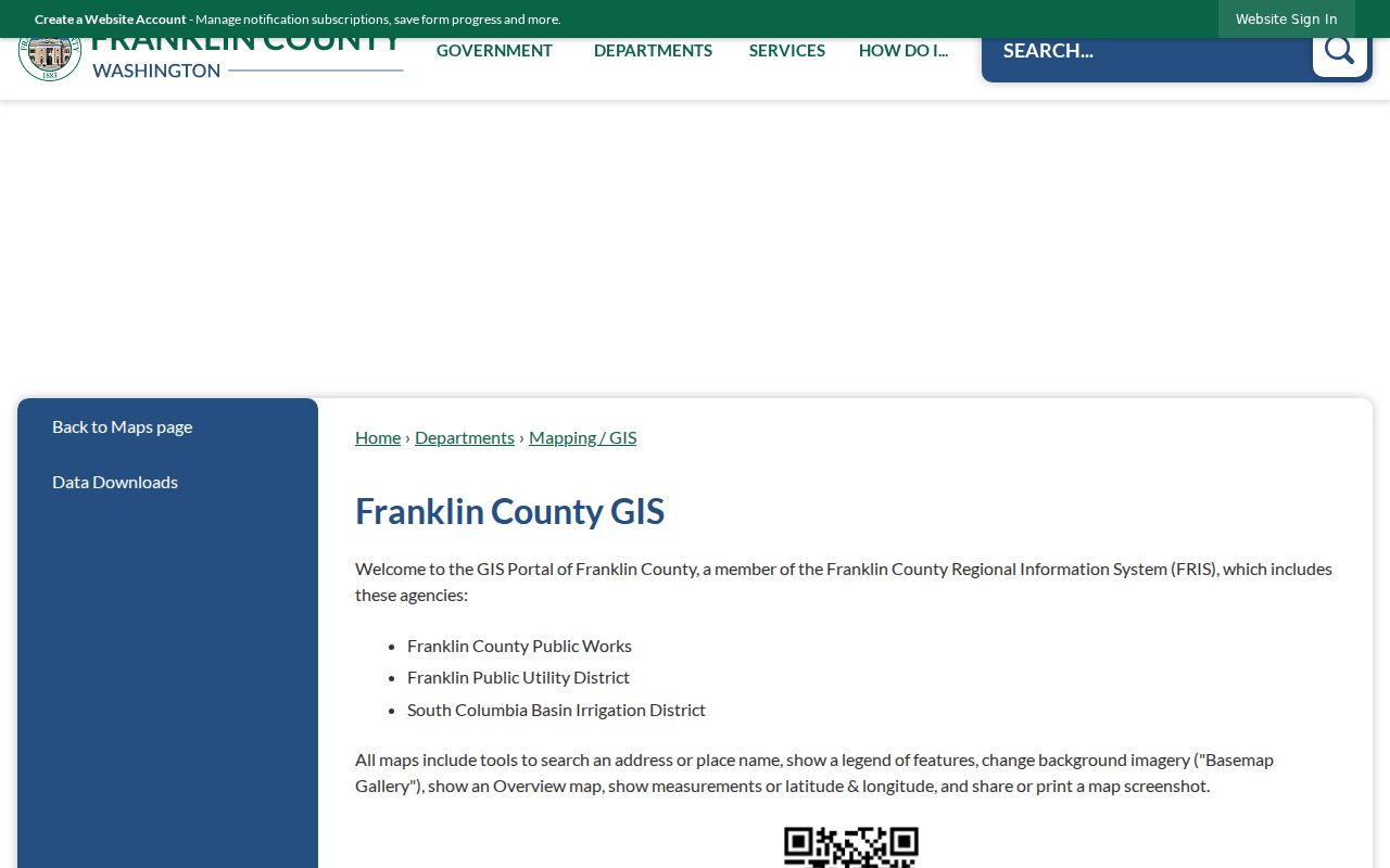
Keep the USPS result beside the FRIS parcel result. Each answers a different part of the address question.
Pasco Growth Changes Search Scale
Pasco grew from 59,781 residents in 2010 to 77,108 in 2020. The Census estimate for 2024 is 81,724. The 2020 land area was 33.96 square miles, with density of 2,270.7 people per square mile. These figures describe the whole incorporated city, not a count within each ZIP code.
Growth adds streets, parcels, and annexation records without forcing postal and city lines to change together. The city's planning projection is also not a current count. It assigned about 80 percent of Franklin County's projection to Pasco and set a medium 2038 planning target near 121,828. Keep estimate, census, and plan dates distinct.
Historic Pasco ZIP Clues
Older city directories and telephone books may show no ZIP code or a code that should not be normalized to today's delivery pattern. Compare the printed address and volume year with the current USPS result, then check whether the site was inside Pasco limits at the time. A post office can serve more than one community.
The Washington State Library's Pasco and Tri-Cities runs bridge periods before and after ZIP use, but missing volumes are real gaps. Cite the title, year, page, and printed postal notation. Do not convert an old 99301 or 99302 entry into a present residence claim.
Pasco ZIP and City Limits
ZIP codes route mail. City limits control municipal jurisdiction. County boundaries, tax districts, precincts, and sections add still more layers. A mailing address that says Pasco may sit outside the incorporated city, while a parcel later annexed into Pasco can retain older county-only records. Route a request by the record date and the jurisdiction that held it.
The 2026 Goodwin annexation south of Harris Road and north of I-182 is a current example of jurisdiction changing through a public process. It does not establish a new ZIP boundary. Compare USPS with the city's maps and FRIS, then preserve both labels in the research notes.
- ZIP vs ZIP+4
- A ZIP is the five-digit routing area; ZIP+4 narrows delivery within it.
- PO-box ZIP
- A code or suffix used for post-office-box delivery rather than a street boundary.
- Unique ZIP
- A code assigned to one high-volume organization or site.
- Carrier route
- A delivery path within postal geography, not a city or parcel boundary.
Limits of a Pasco ZIP Directory
No current official USPS ZIP-boundary GIS or Pasco ZIP-to-street export was found in the research. That gap prevents a confident street list for 99302 and stops archived routing tables from being treated as modern boundary maps. Address-level USPS verification is the sound fallback.
Keep layers separate. A ZIP confirms postal routing, FRIS supplies parcel context, and the city map supplies municipal limits.
A ZIP code directory can sort and narrow leads. It cannot identify an occupant, prove ownership, or replace a dated record from the responsible custodian.