
Pasco Neighbors, Source by Source
Official sources describe the land and public civic setting around a Pasco address. None is a complete roster of neighbors. FRIS supplies parcel geometry and map layers. The tax roll associates an owner with a parcel. Council and precinct layers explain public districts. Neighborhood Watch and Local Improvement District records show how a block may organize around safety or public works.
| Source | What It Shows About a Block | Access |
|---|---|---|
| FRIS parcel viewer | Adjacent parcels, addresses, roads, boundaries, district layers | Free official viewer |
| Franklin Tax Search | Tax owner, parcel, address, property and district filters | Free portal, availability may vary |
| Pasco council layer | District 1 through 6, council member and district facts | Public GIS layer |
| Voting precinct layer | Precinct and district geography | FRIS Districts Map |
| Neighborhood Watch and LID records | Public program, meeting, project and petition context | City pages and public records |
An owner name is evidence of the tax or deed association as of a date, not proof that the person occupies the site. Likewise, a district boundary says nothing about a household's views. Keep the source, access date, and limited claim together.
Map a Pasco Neighbor Block
Franklin County Regional Information System, or FRIS, is the primary adjacent-parcel viewer. It provides address and place search, parcel and address layers, roads, city limits, townships, sections, taxing districts, and voting precincts. Its Assessor Map adds plats, parcel details, photos, and sale information. Map tools can measure, read coordinates, print, and share, but the county warns that its maps are informational.
- Search the target address and turn on parcels, roads, and addresses.
- Zoom until the target polygon is distinct, then click each touching parcel one at a time.
- Record parcel ID and street frontage first. Keep owner, mailing, deed, and permit leads in a separate note.
- Add city limits, precincts, taxing districts, and other needed overlays. Save the view date and layer names.
- Confirm legal boundary or title questions with the office that holds the underlying record.
The flow is address to parcel polygon to adjacent polygon to parcel identifier to tax owner lead to deed or permit verification. For a whole road rather than the immediate block, use the Pasco street directory workflow.
The FRIS source page introduces the county map choices used for this block method.
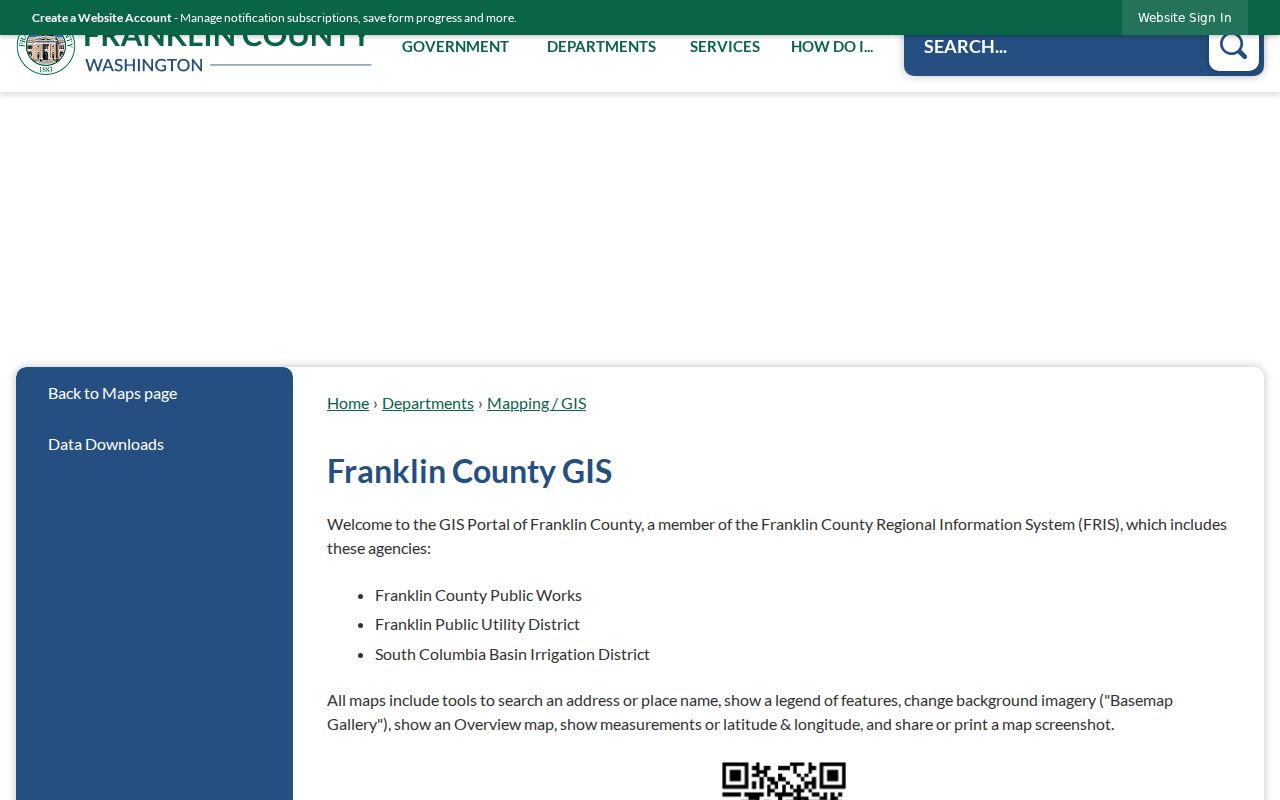
The official page is the route to parcel, assessor, district, planning, and public works map layers.
Pasco Parcel Layers Explained
Different layers answer different block questions. Base Map displays terrain, parcels, roads, addresses, water, city boundaries, townships, and sections. Assessor Map is best for parcel detail, plat, photo, and sale leads. Districts Map adds city and county boundaries, tax districts, voting precincts, and parcels. Planning maps can show zoning and the urban growth area. Public Works maps add roads, bridges, and delay context.
Pasco's own city-limits layer carries status fields that include Temporary, Proposed, and Pending, plus dates and notes. Its query and distance tools help test whether two nearby points fall within the same mapped city area, but the feature service is not a survey. The council layer identifies districts 1 through 6 and public council information. Do not infer a person's political preference from a district or precinct.
Pasco Neighbors and Block Watch
The Pasco Neighborhood Watch program supplies a civic route for neighbors who want to know how the block works without publishing a private roster. A watch can begin with one motivated person or a few residents working with police. Watch Captains, a District Resource Officer, and quarterly district meetings form the public program structure.
Neighborhood Watch
Program setup, Watch Captain role, police contact, and quarterly meetings.
Open the city programCouncil Districts
District numbers, council contacts, biographies, and public meeting links.
Open City CouncilThe program image shows the official city source for forming or joining the civic process around a block.
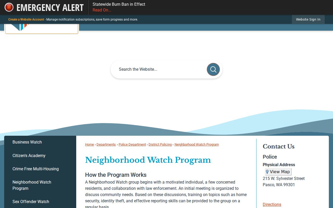
Use those public contacts and meetings instead of trying to identify participating households.
Pasco Block Projects Leave Records
Local Improvement District records can explain street lighting, sidewalks, utilities, and alley changes around Pasco neighbors. The city describes an interest survey or petition, a neighborhood meeting, generally 50 percent participating properties, and a typical process lasting 18 to 24 months. These files reveal the public project and its path, not a casual list of everyone on the block.
CivicWeb agendas and attachments may add meeting dates, public board roles, and official action. Record only what is needed to explain the project. Do not turn a signature or public comment into a claim about current residence, support by an entire household, or the views of nearby people.
Pasco Neighbors Across Boundaries
Nearby parcels do not always share the same custodian. FRIS can overlay city limits, tax districts, precincts, townships, sections, and the urban growth area. A parcel outside Pasco may rely on county records while the parcel next to it has both city and county files. Annexation can change that split without moving the street.
The August 2026 Goodwin annexation provides a current example south of Harris Road and north of I-182. The Road 80 annexation offers older “donut hole” context. Date the city-status layer and the record itself. Old county planning files remain relevant even after later Pasco permits begin to appear. Geography explains the file trail; it does not prove who your neighbors are.
Washington Voter Block Limits
Washington law makes specified voter fields public, including name, address, political jurisdiction, gender, year of birth, voting record, registration date, and registration number. Poll books, precinct lists, and current lists are subject to address protection. The state file can include district and precinct facts. Franklin County's form offers a walking list sorted by precinct and address, along with selected active-list and election-history options.
VoteWA is different. It is a self-service match that asks for first name, last name, full date of birth, and a matching account flow. It is not an anonymous neighbor-name search. Public lists may not be used for advertisements, offers, or solicitations. Protected voters are absent by design, so a missing name or substitute address is not evidence that someone moved or does not reside in Pasco.
Official Pasco Neighbor Records
Official records and commercial neighbor tools answer different kinds of questions. The official route is slower because each source has a defined keeper and purpose, but it preserves dates, field meanings, and correction paths. Commercial compilations can merge old addresses or people with similar names. They should not be treated as proof.
| Official rolls | Commercial compilations |
|---|---|
| Named custodian and source date | Source chain may be unclear |
| Parcel, deed, district, or program-specific facts | Mixed profiles and inferred associations |
| Correction or records-request route | Provider-specific correction process |
| Clear limits on what the record proves | Current status may be hard to establish |
For Pasco neighbors, map the block with FRIS and verify any parcel fact at its official source. Do not copy a commercial profile into a block list.
Privacy for Pasco Neighbors
The Washington Address Confidentiality Program lets eligible participants use a substitute address with state and local government and courts. Their actual street and mailing address, city or county, and precinct are protected. Older public records may remain, and a search miss can have many lawful causes. Never try to reverse-engineer an actual address from parcel, voter, court, or marriage data.
Publish the minimum needed for civic and geographic context: parcel ID, layer, district, public project, date, and custodian. Do not publish household makeup, private contact details, complainant facts, or rows of names merely because a map makes owner data clickable.
Lawful use. Research Pasco neighbors for civic awareness, reconnection, or personal safety. Never use block records to watch, threaten, harass, or expose anyone.